Key West FL to Deadhorse AK


Road Dust
American Rat Rider


<< Previous 1 2 3 4 5 6 Next >>   
Key West to the Wilds of Canada and Alaska

May 31, 2010
Miles: 394
Total miles: 6,865

Whitehorse, Yukon to Tok, Alaska

Time on road: 9 hrs


This morning the temperature was around 32. I must be getting use to the change because it just did not seem that cold. It got up to the high 70s this afternoon and seemed really hot. The further north we go, the warmer it seems to get.

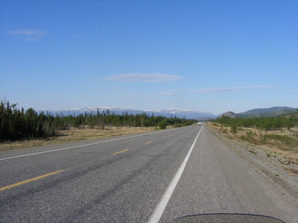
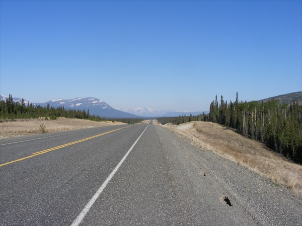
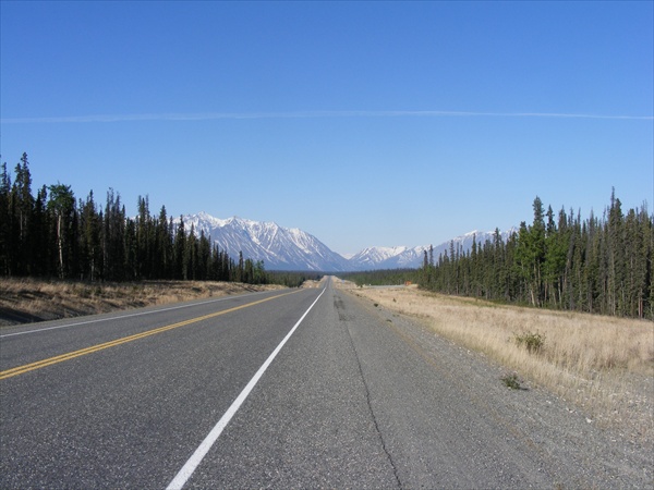
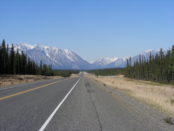
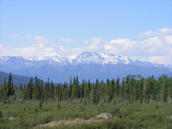
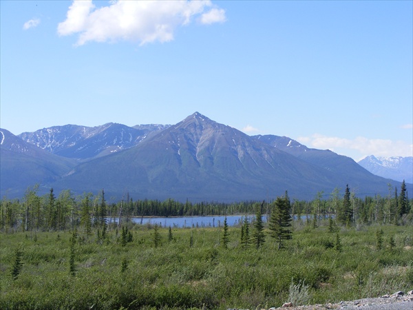
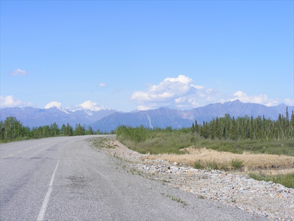
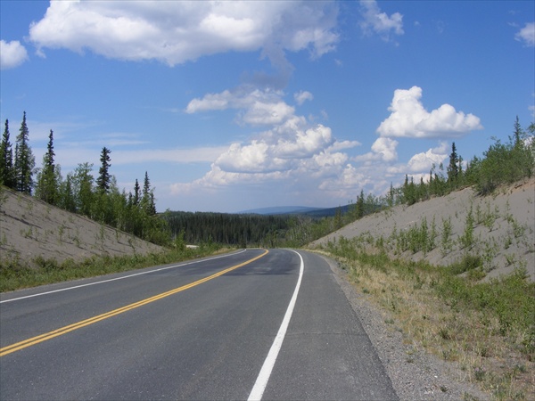
So far it has just been great days up here. Leaving from Whitehorse we began to see mountains in front of us again. It was not long until we were riding through valleys with snow capped mountain in the near distance all around us. This was typical of most of the ride today. Later during the day as we came closer to Alaska the mountains started receding further into the distance and we were riding in a shallower valleys. Mountains are starting to come into sight again.

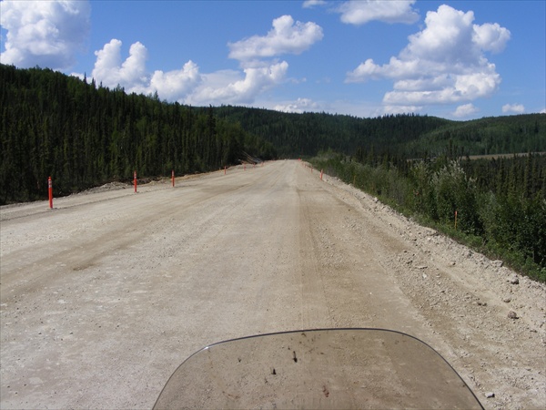
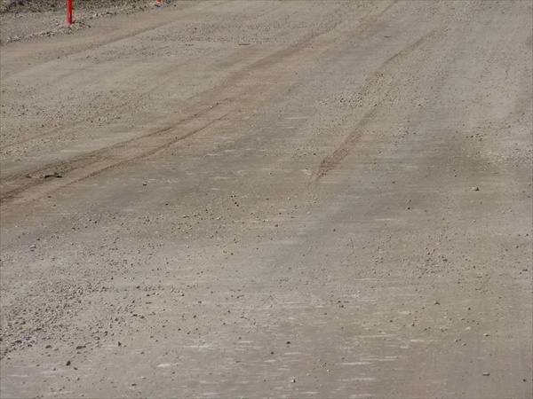
I have read several ride reports that told about the road conditions on the Yukon and they seemed to be very accurate. Between one section of road construction from yesterday and three today, we have ridden over 26 miles on dirt while on a “paved” road. Numerous frost heaves either give a roller coaster ride or the road in the bottom of the dip is all torn up and several have long narrow pot holes in them. Hit one that is running in the wrong direction and with just a little too much speed on the bike and it would not be too hard to end up in a high side.


Alcan Highway
Yukon


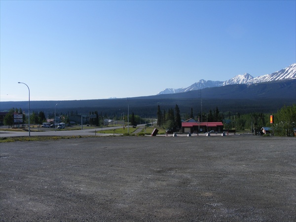
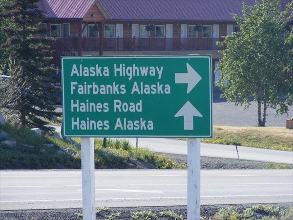
Haines Junction
Yukon


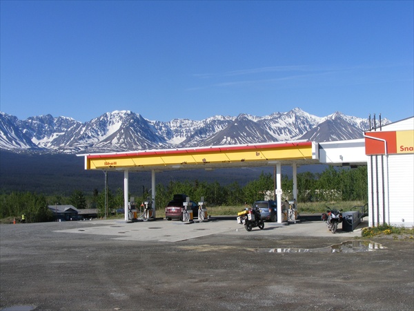
Gas stop
Haines Junction, Yukon


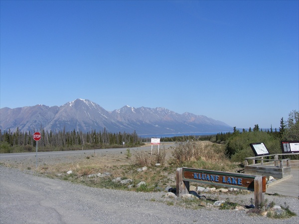
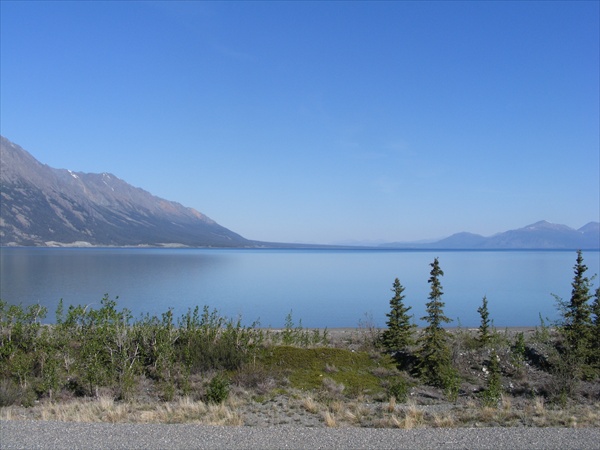
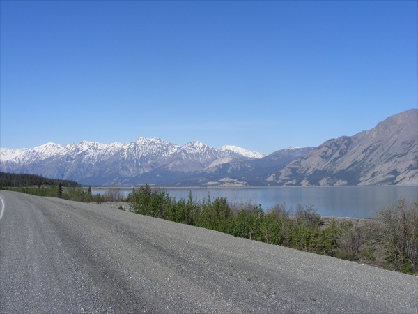
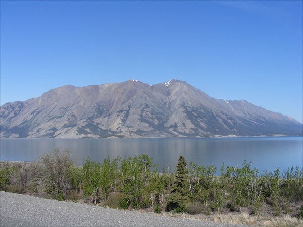
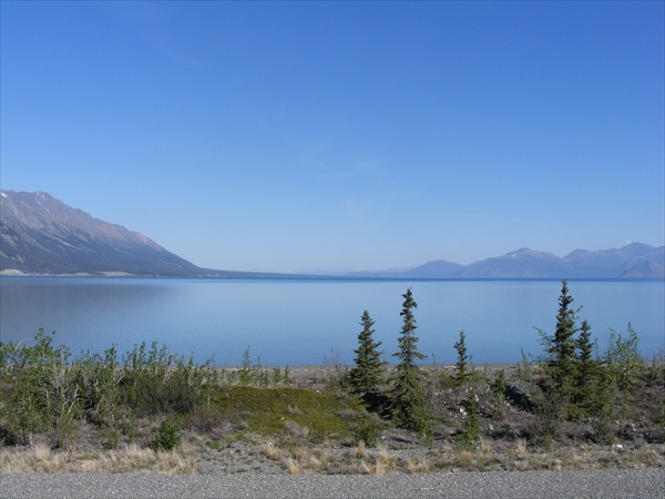
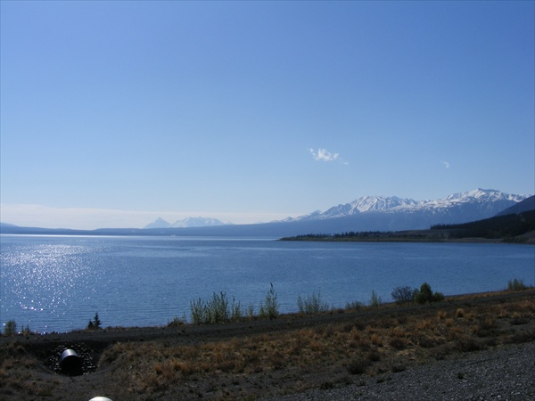
Kluane Lake
Alcan Highway, Yukon


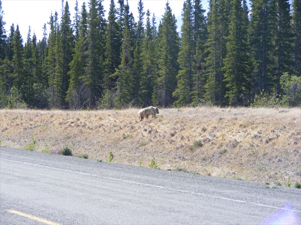
Just north of Klune Lake there was dead grass on both sides of the road that was about 2-3 feet high. Something caught my attention while moving through the grass toward the road. It was just a little darker brown than the grass was and I could not quite make it out. Right before I got to it I realized that it was a grizzly bear. I stopped as soon as I could but the bear was now behind me. While I was digging in my tank bag for my camera I kept checking out the bear in my rear view mirrors. He also checked me out then started across the road. I could not get a picture of him while sitting on the bike so I got off so I could get a picture. He was at least 50 feet behind me and looked well fed so I figured that it was worth the risk. Hopefully I would not find out if Kevlar was grizzly proof. He continued across the road, down into the ditch, up the bank, gave me one last look and then headed into the woods. With many of the animals you have to be fairly quick to get their picture before they disappear into the trees.


First Grizzly sighting
Alcan Highway, Yukon


First Nation
Alcan Highway, Yukon


Alcan Highway
Yukon


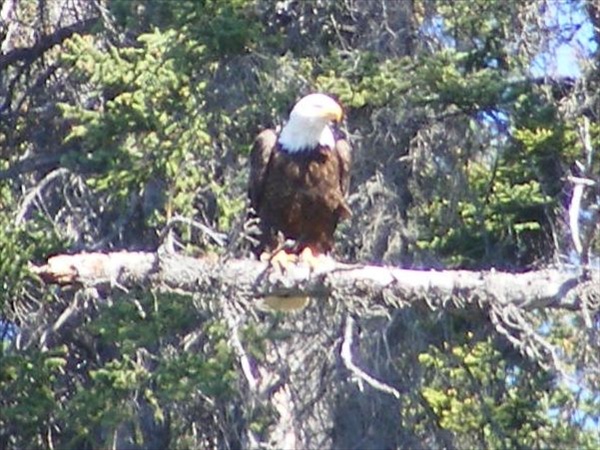
Bald Eagle
Alcan Highway, Yukon


Local residents
Alcan Highway, Yukon


Alcan Highway
Yukon


Road construction
Alcan Highway, Yukon


Later this afternoon we crossed back into the good ol USA and into Alaska. It was one of the easiest border crossings that I have ever done. The border guard ask me just a couple of questions and after that we talked about V-Stroms until some cars came up behind us. He stated that the V-Strom is his dream bike.


Alcan Highway
Alaska


We have stopped in Tok, AK for tonight. Tomorrow will be a short ride up to Fairbanks where we will start prepping the bikes for the attempt on the Dalton and up to Deadhorse.

Key West to the Wilds of Canada and Alaska

June 1, 2010
Miles: 235
Total miles: 7,100

Tok, Alaska to Fairbanks, Alaska

Time on road: 7 hrs 30 min


We had a short ride up to Fairbanks planned for today.

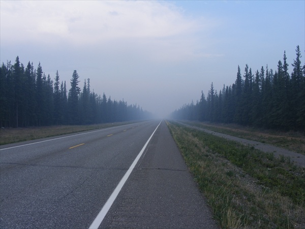
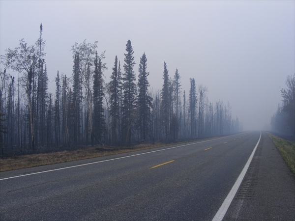
There had been a fire between Tok and Fairbanks and for a while we were riding through the smoke.

Smoke from the fire
Alcan Highway, Alaska


The smoke cleared fairly soon and most of the rest of the day was very similar to yesterday's ride.


Alcan Highway
Alaska


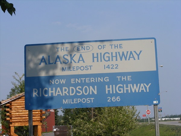
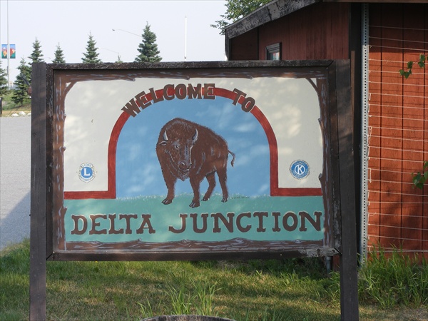
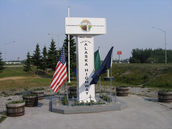
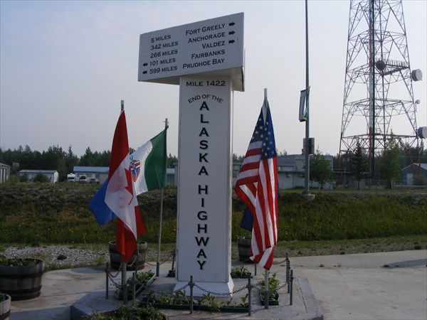
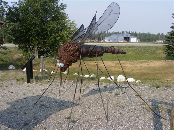
Mid-morning I came to the end of the AlCan in Delta Junction. Ran into a few small skeeters there.


End of the Alcan Highway
Delta Junction, Alaska


Some Alaskan skeeters
Delta Junction, Alaska


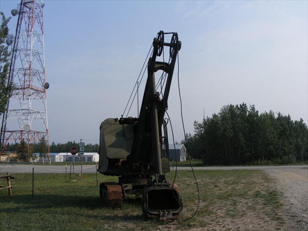
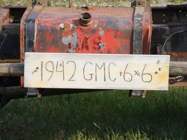
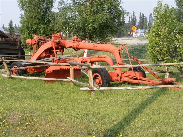
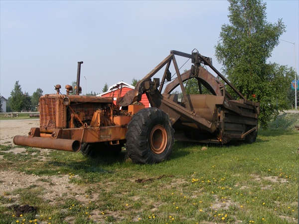
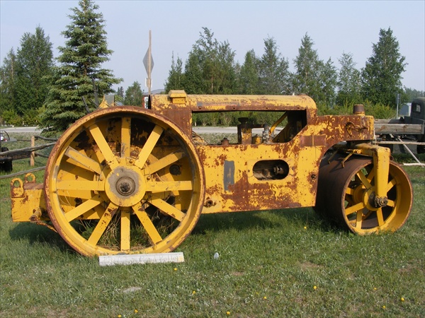
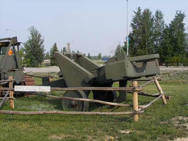
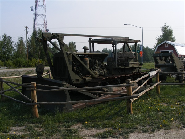
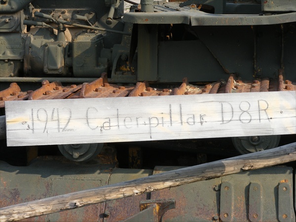
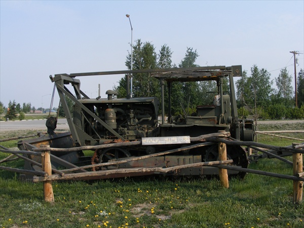
Construction Equipment
Used in building the Alcan Highway
Delta Junction, Alaska


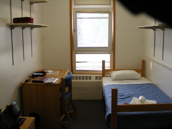
After arriving in Fairbanks we went to the University of Alaska at Fairbanks to see what time that we could check in to our dorm rooms. You can rent a dorm room there for $36 a night or a motel room for $140-$160 a night.


Home for the night
Fairbanks, Alaska


Check-in time was 3:00 pm and we were there around 12:00. To kill some time we decided to ride on over to Adventure Cycleworks which is where we will be going tomorrow for tires and maintenance. We found Adventure Cycleworks and not only did they have our tires ready they said if I could come back around 6:00 pm they could change the tires, do the maintenance on my bike, and would throw something on the grill for dinner. Best offer that I had all day. They also gave me a lot of good information and tips on riding the Dalton. The bike is ready to go so this gives me a total free day for tomorrow.

Key West to the Wilds of Canada and Alaska

June 2, 2010
Miles: 27
Total miles: 7,127

Fairbanks, Alaska


Today was a scheduled maintenance day but I got all of the maintenance taken care of yesterday evening. Today I have mostly been hanging out around the dorm, checking maps, weather reports, and uploading pictures on my ride report.

The weather forecast seem to change almost hourly. Currently the forecast for Deadhorse is now a low of 28, high of 32, rain/snow, and winds up to 35 mph. Maybe in another hour they will give us one that is more favorable.

In the morning we will be heading north on the Dalton with the destination of Wiseman which is around 12 miles north of Coldfoot. If we are successful, this would put us a little over half way to Deadhorse.


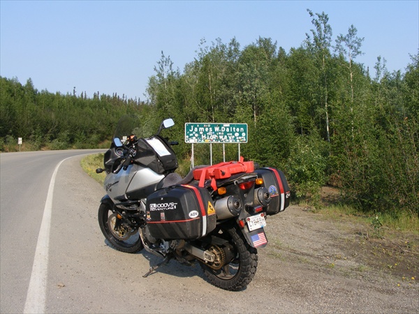
The Dalton Highway

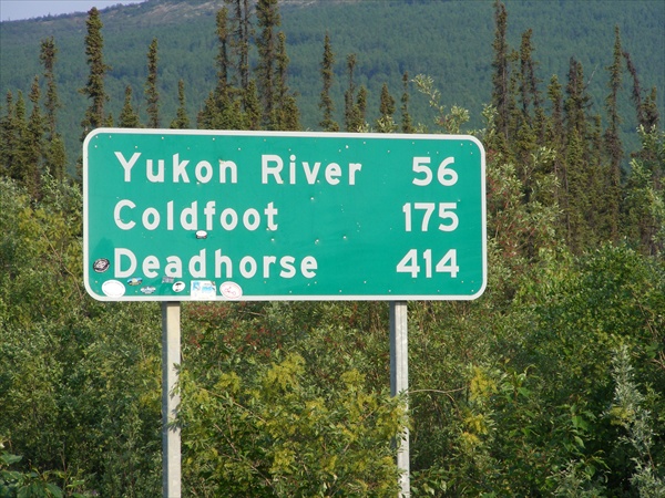
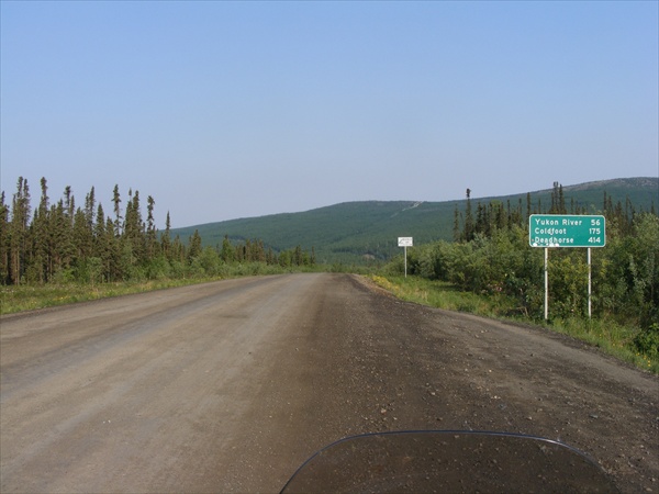
The Dalton Highway begins 83 miles north of Fairbanks, and runs to to Deadhorse and the oil fields of Prudhoe Bay - a trip of 414 miles. This narrow, gravel highway travels through rolling, forested hills, across the Yukon River and Arctic Circle. You'll ride over the rugged and majestic Brooks Range, and descend the long slope to the Arctic Ocean. You're in wilderness almost every mile of the way.

There are two places to buy gas: Yukon River Crossing, and Coldfoot. The Yukon River is reached at Mile 56. Here, there's a small log cabin visitor center staffed by the BLM, open daily from 9 a.m. to 6 p.m. You can pick up a lot of good road advice here.

The Arctic Circle is crossed at Mile 115 with Coldfoot at Mile 175. Coldfoot Services calls itself the northernmost truck stop in the world.

North of Coldfoot, the road enters the Brooks Range. You'll pass the tree line near Mile 230, before climbing over Atigun Pass (4,000 feet).

The town of Prudhoe Bay, at Mile 414, is the end of the Dalton Highway.

The Dalton Highway is the featured road on the third and fourth seasons of the History reality television series Ice Road Truckers, which aired May 31, 2009 through August 23, 2009. It is also the subject of the second episode of America's Toughest Jobs.


Deadhorse, Alaska (Prudhoe Bay)

Deadhorse is the Alaskan version of a company town. Its only reason for being -- above the Arctic Circle -- is to service the busy oil operations of Prudhoe Bay. Deadhorse is the end of the Dalton Highway.

The population of Deadhorse is anywhere from 3,500 to 8,000 (depending on how busy the oil operations are at the time).

Deadhorse is several miles from the Arctic Ocean. An oil company road leads north from town, but permits are required to travel on the road. This is a spartan little town -- more a camp of pre-fab buildings than anything else.


Key West to the Wilds of Canada and Alaska

June 3, 2010
Miles: 307
Total miles: 7,407

Fairbanks, Alaska to Wiseman, Alaska

Time on road: 10 hrs 15 min


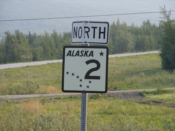
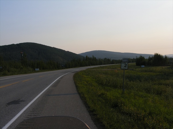
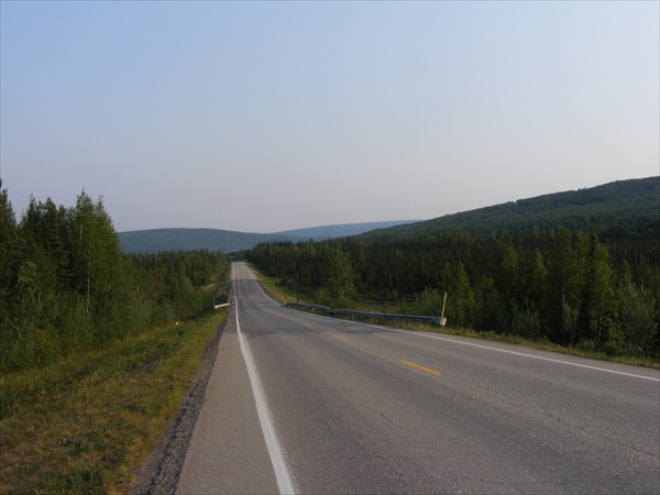
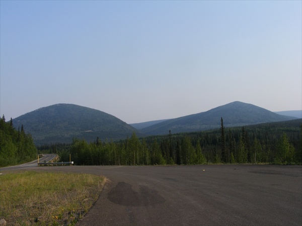
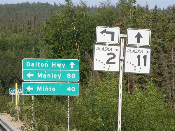
We left Fairbanks this morning and headed north on Alaska Highway 2 which would take us up to the Dalton. Just north of Dalton we stopped at the Hill Top for gas and breakfast. It seems that this is almost a mandatory stop. It was not long until we were back into the mountains again. Great scenery, lots of ups and downs and sweepers. Shortly thereafter we were arrived at the Dalton.


Highway 2 North
Alaska


Highway 11 North
Alaska


The beginning of the Dalton
Dalton Highway, Alaska


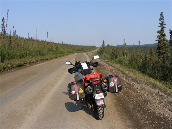
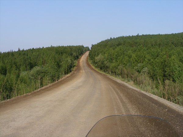
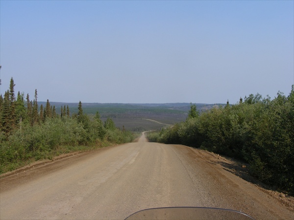
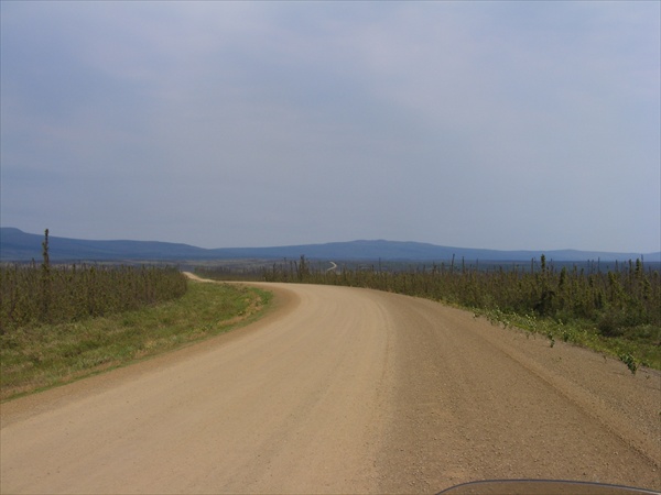
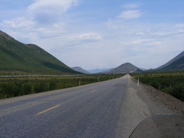
The first dirt section on the Dalton was like a giant roller coaster. The inclines were around a 12-18% grade. Approaching a hill you would not be able to see the road until you actually went over the edge and started down hill. Going back up one of the steep inclines was almost as much fun.

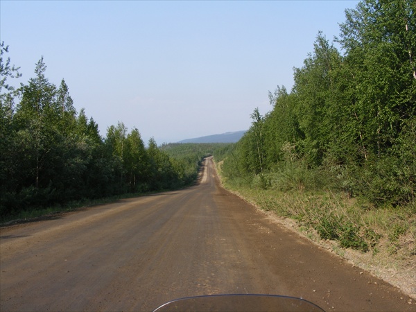
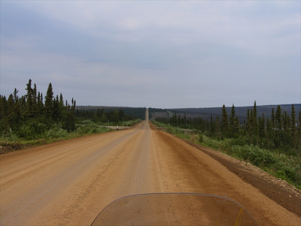
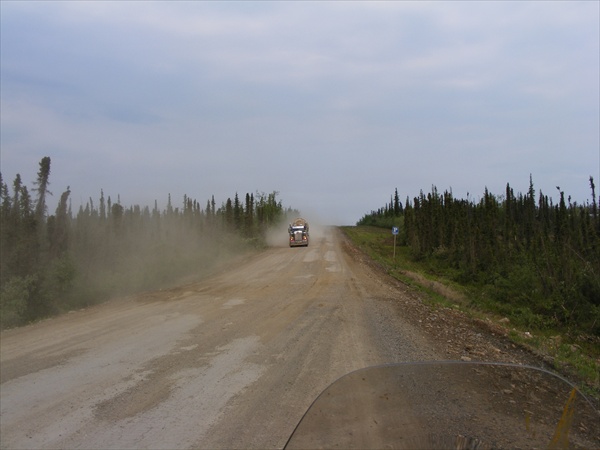
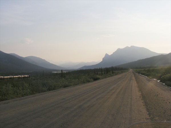
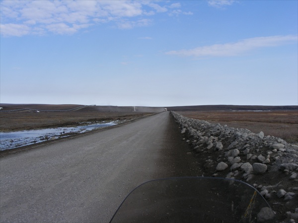
The road was hard pack, dry, some gravel, and generally in good shape. The paved sections had a lot of road damage and almost seemed harder to transverse than the dirt. The hardest sections were actually caused by the road repairs that were in progress.


Dalton Highway
Alaska


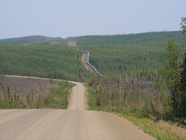
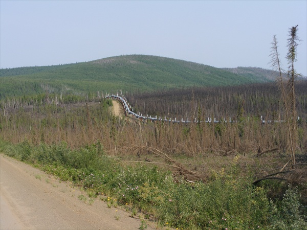
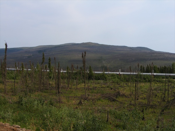
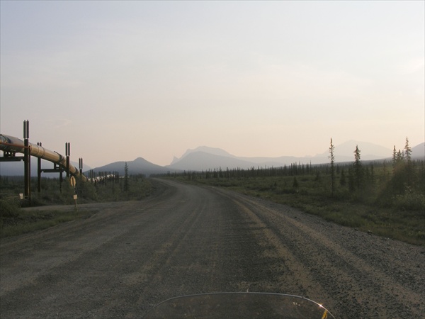
Oil pipeline
Dalton Highway, Alaska


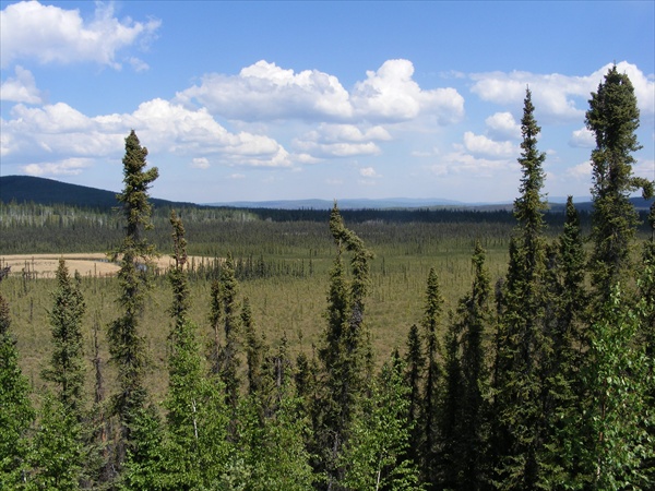
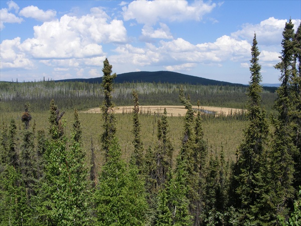
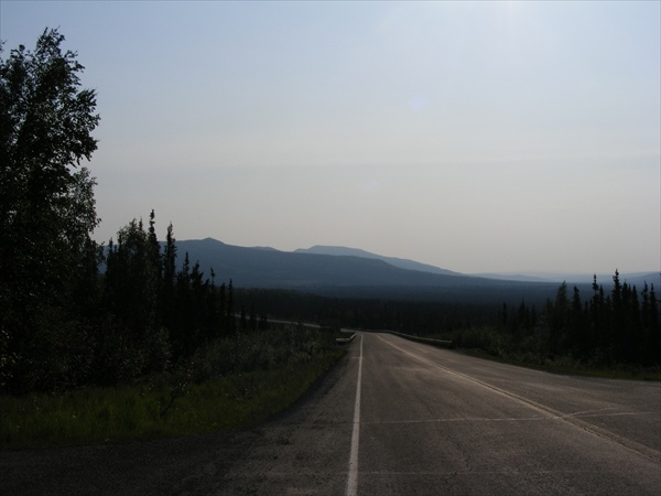
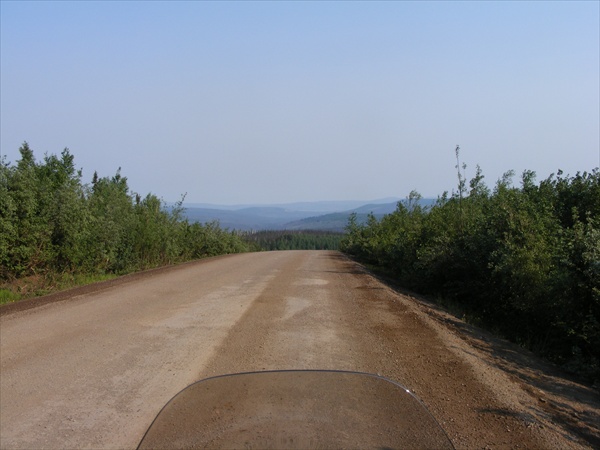
Gas at the Yukon river and back on the road again. The mountains began to become smaller and more spread out. We would alternate between crossing the ridges to riding in the valleys.


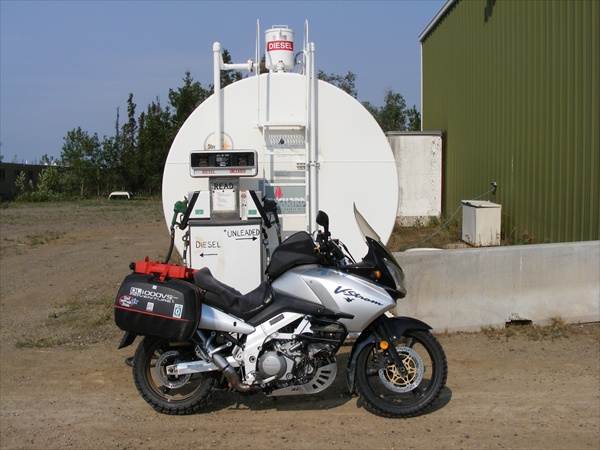
Gas Stop
Yukon River Camp, Alaska


Dalton Highway
Alaska


Oil pipeline
Dalton Highway, Alaska


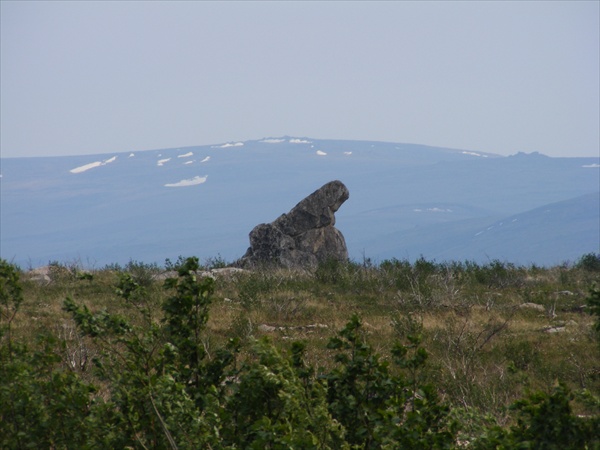
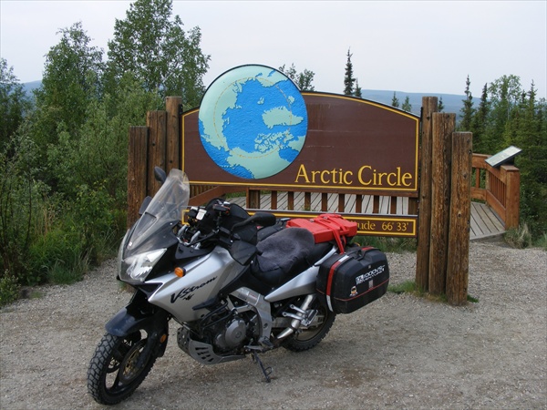
Passed by Finger Rock which points the way back to Fairbanks. Bush pilots use to, or still do, use this rock to help them navigate their way back to Fairbanks. Took the required picture and a few more miles down the road arrived at the Arctic Circle. The Arctic Circle sign is heavily guarded by an enormous swarm of mosquitoes. Got the picture, gave a quart of blood even with the mosquito net on, and quickly got back on the road.


Finger Rock - pointing the way back to Fairbanks
Dalton Highway, Alaska


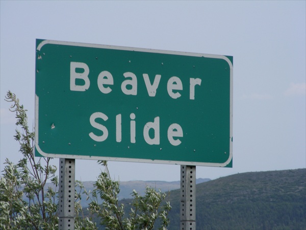
Beaver Slide
Dalton Highway, Alaska


Arctic Circle
Dalton Highway, Alaska


Another 60 miles up the road was the truck stop at Coldfoot. It is said that Coldfoot got it's name when the gold rushers were heading up north seeking their fortune in gold. Many would get to this point, get cold feet and turn back south. Coldfoot is the last gas stop before Deadhorse which is 240 miles to the north. Filled the gas tank, had dinner then back on the road for some more fun in the dirt.

The fun in the dirt almost immediately turned into a 15 mile construction zone. Two miles past the construction zone it was a 3 mile detour to the left and down to Wiseman for the night.

I talked to some riders that were on their way south from Deadhorse. Their report for today was good road, sun, cold, and strong winds. One of their bikes was blown over by the wind.


Dalton Highway
Alaska


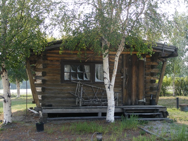
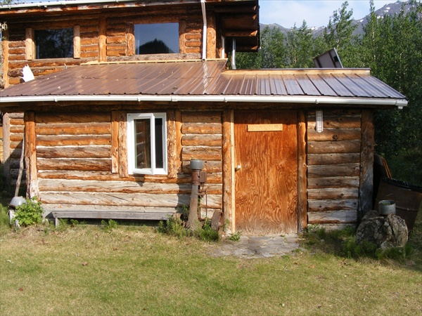
Lodging for the night
Wiseman, Alaska


Tomorrow's forecast is still the same. After traveling 7,000 miles we have only 240 miles left for the UCC. Our plan is for an early start in the morning and see if we can survive the 28-30 degree temperature and 35 mph winds. If we make Deadhorse and feel like were are capable we plan on doing a turn around and come back to Wiseman for the night. There is a weather system coming up from the south and it would be good to avoid as much rain as possible while on the dirt.

Key West to the Wilds of Canada and Alaska

June 4, 2010
Miles: 467
Total miles: 7,874

Wiseman, Alaska to Deadhorse, Alaska (Prudhoe Bay) to Wiseman, Alaska

Time on Road: 17 hrs


There are two problems with the weather forecast that I am having to consider:

  1.   If the roads get slick in the southern part of the Dalton, I am not sure that I would be able to ride out on the 14-18% grade hills.

  2.   35+ mph crosswinds on dirt and loose gravel would make it very difficult to keep the bike upright and on the road. If I did make the 180 mile stretch from the Atigun pass up to Deadhorse then I probably would have to overnight in Deadhorse because I do not think that I could do another 180 miles with strong crosswinds on dirt and return to Wiseman in the same day. This would mean another day of rain on the lower Dalton. When the Dalton gets soaked with water it can turn into 3-4 inches of sloppy mud and is about like riding on greased owl snot.

Weather reports up here are not always that accurate, but still there is a high chance of me not being able to get off of the Dalton due to the road conditions. Looking at it from a logical standpoint I decided last night not to try for Deadhorse and to return to Fairbanks so that I did not have to deal with the slick roads on the hills in the southern section.

This morning Jack got an early start and headed for Deadhorse. His intent was to make Deadhorse and then return to Fairbanks in the same day, avoiding the rain coming up from the south. I, on the other hand, made a later departure as I had plenty of time to ride back to Fairbanks. Before I headed south I wanted to see Atigun Pass. I had seen it many times on Ice Road Truckers and being this close and the weather this good I had to go at least that far before turning around.

I took the three mile dirt road out of Wiseman that was following the river back out to the Dalton.


Leaving Wiseman, Alaska


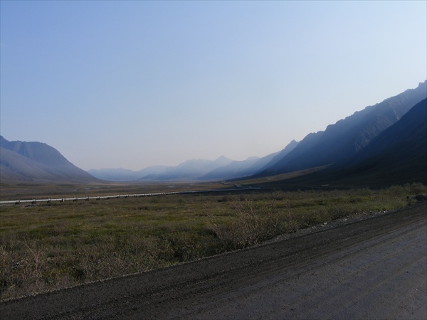
After getting back on the Dalton I was traveling through a valley with mountains on both sides. It was not long before the Brooks Range was in sight in front of me. After about 30 miles into the ride I started thinking, usually not a good thing for me to try to do. In my entire life I have never been accused of being logical so why should I start now? New ride plan. I am going to continue to ride to the top of Atigun Pass and if the weather on the North Slope is not all gloom and doom then I will continue north until I have to turn around.


Dalton Highway
Alaska


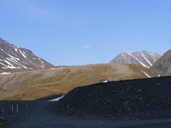
It was a great ride as I continued on into the Brooks Range. Another 30 miles and the Atigun Pass was in front of me. It was a mile and a half up the south side and two and a half miles going down the north side. My first impression of the pass was that “that is one long steep hill”. The temperature started dropping as I began to climb the pass. Atigun Pass has a 14% grade. When I started up it did not seem so bad, but when I started down the north side I really noticed it.


Brooks Range
Dalton Highway, Alaska


Atigun Pass, Brooks Range
Dalton Highway, Alaska


Reaching the top of the pass all that I saw was sun and blue skies. Maybe the weather forecast had been wrong.

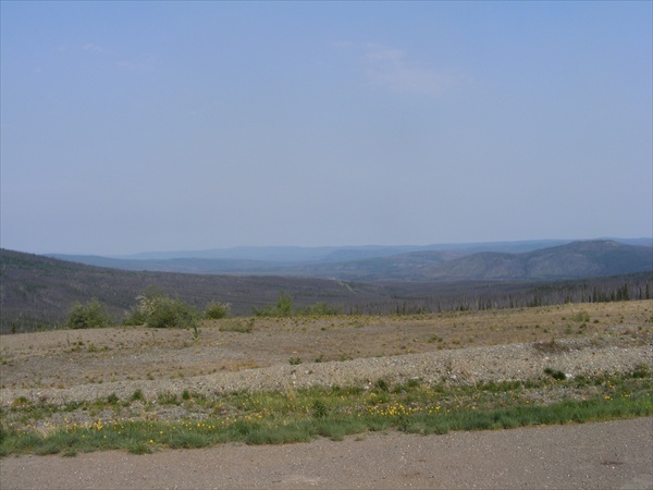
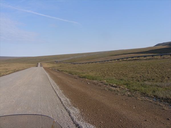
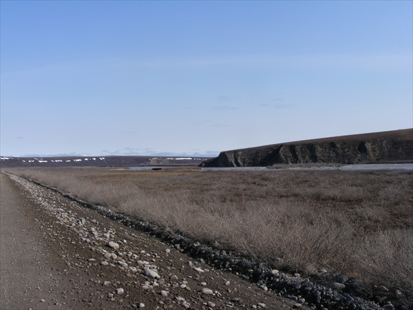
After descending out of the Brooks range the mountains started to recede and the terrain began to flatten out.


Dalton Highway
Alaska


The road itself reminded me of the weather in many parts of the country. If you don't like it, wait 5 minutes and it will change. The road was very quick to change from hard pack to loose gravel, to a bed of baseball sized rocks, freshly graded soft dirt, mud after the road had been graded and then watered, and slick hard pack after the water truck passed by. The road repair always seemed to make the road much worse. I only had to cross over one berm today and it did not give me any problem. Several people have been air lifted out after traveling at a higher rate of speed in a better section of the road and then suddenly hit a change in the road condition going to fast resulting in a high side.


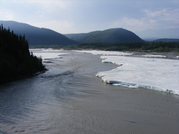
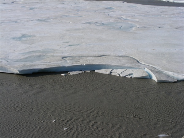
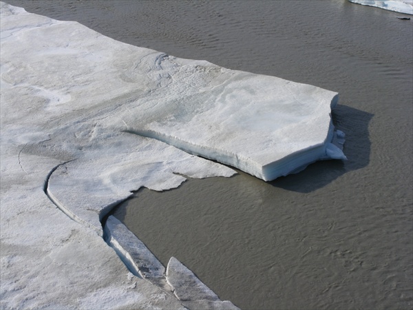
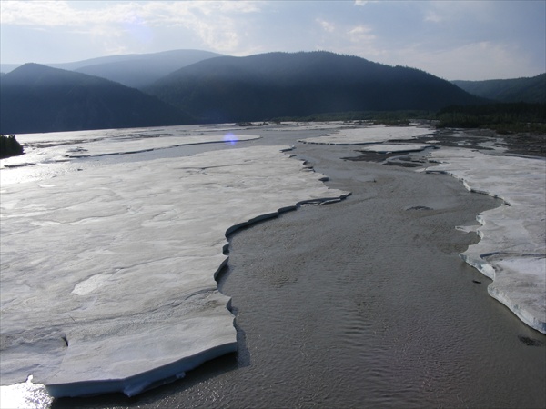
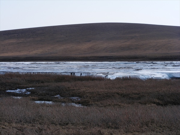
Ice on the river
Dalton Highway, Alaska


Dalton Highway
Alaska


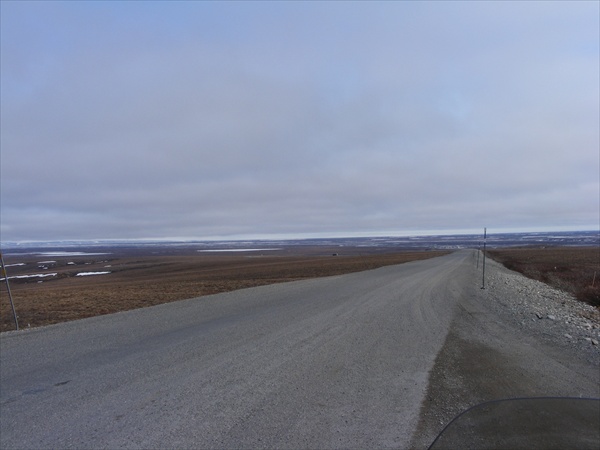
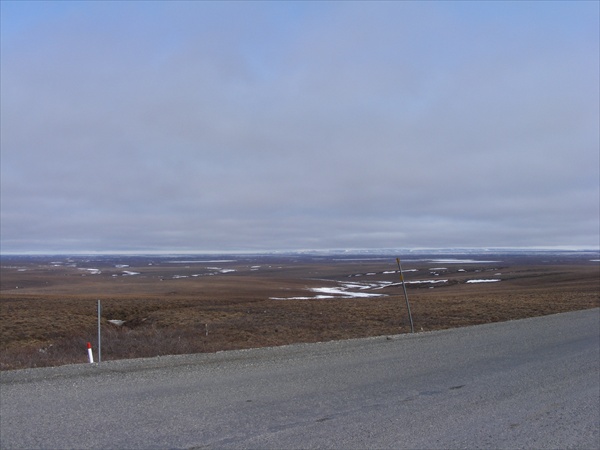
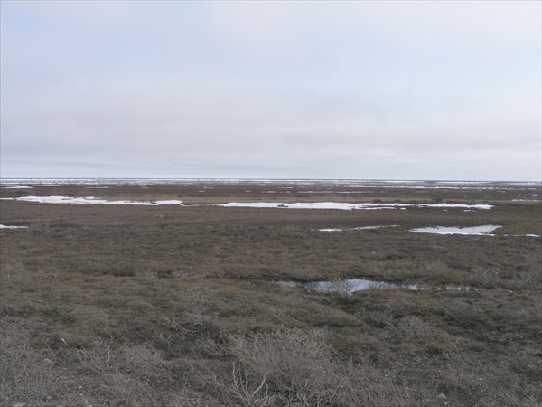
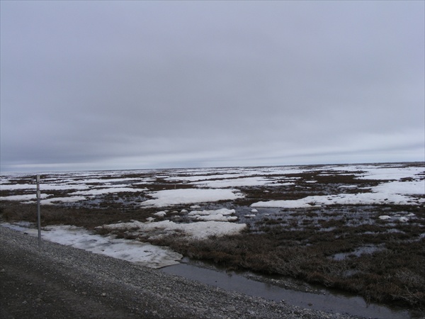
About 100 miles south of Deadhorse I could see clouds in the distance. It was obvious that there was a different weather system in front of me. The winds were starting to pickup and the temperature was starting to drop. It was time to take a break and add a another layer of clothing. I was starting to see more and more snow. The streams were cutting through 4 feet of ice. As I continued north most of the now numerous ponds and lakes were frozen over. The terrain soon turned into snow, ice and water.


New weather system ahead
Dalton Highway
Alaska's North Slope


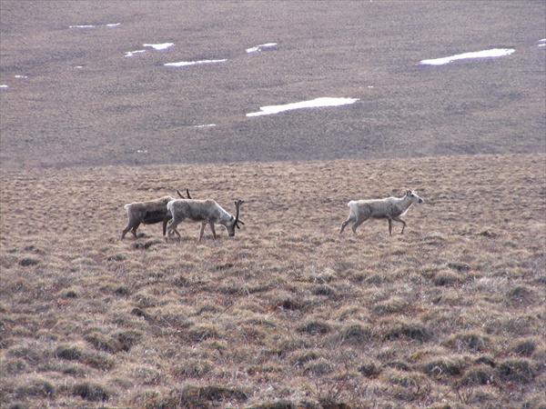
Caribou
Dalton Highway
Alaska's North Slope


Within 50 miles of Deadhorse the ride really became interesting. There were now crosswinds in excess of 35 mph which really made the bike dance in the loose gravel and in the slick mud. The temperature quickly started to drop from the strong wind blowing across all of the snow and ice covered lakes. The thermometer on my bike was now reading in the high 20s.

About 40 miles south of Deadhorse I meet Jack as he was on his return trip and heading back south.


Approaching Deadhorse
Dalton Highway
Alaska's North Slope


The winds may have been above 35 mph but I was traveling at only about 25 mph and doing my best to keep the bike upright and not to go into the water on the side of the road. I was just crawling into Deadhorse but finally made it. Hey, I'm old so it is OK if I go slow.

After arriving in Deadhose it was a constant battle to keep the wind from blowing the bike over. A lot of the road was wet and slick. When I would have to stop and put my foot down at times it would be like trying to stand on ice with someone trying to push you over.


Entering Deadhorse, Alaska


I had planned on taking a break in Deadhorse and having some lunch. My one power bar for the day was long used up. However, the winds were such a problem and it was so cold that my new plan was to get gas, get the required witness signatures and picture for the UCC and head south. I found the gas pump, filled up with gas, and found two witnesses to sign my witness form for the UCC. I got my receipt but gave up on completing the paper work as the wind was blowing everything out of my tank bag and hands. Also by this time my hands had gotten so cold that I could not even write. I gave up and saved this task for a latter time. Back on the bike, started it up and no clutch.

I got a ride to the general store and bought a can of brake fluid. The manager at the gas pumps helped me to balance the bike up right so that the reservoir would be level and also helped me to keep the wind from blowing the parts from the reservoir top away. I put everything back together, started the bike and once again I had a working clutch. Off to get my required picture for the UCC and then head south toward Wiseman.


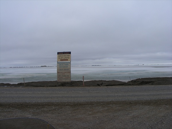
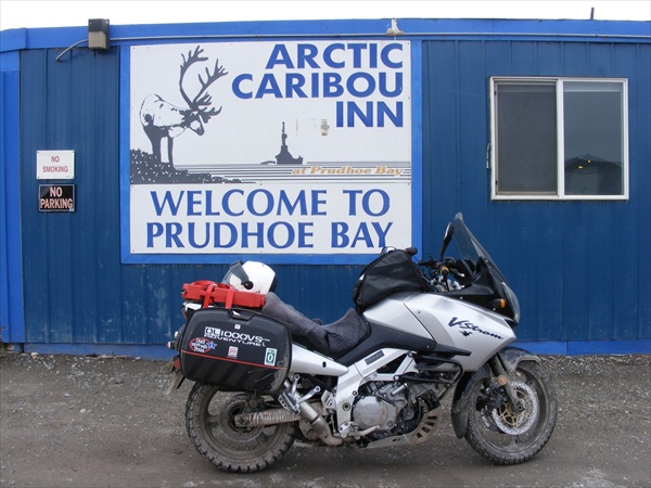
Complection of the UCC
Prudhoe Bay (Deadhorse), Alaska


Heading south the wind did not quite effect the bike as bad. It was blowing from the NNE and often would turn into a tail wind. The short periods that there was a tail wind helped but it was still a challenge going down the road.

Twenty miles later and no clutch. I get the bike stopped on the side of the road. The winds are still being very unfriendly. I'm on the down wind side of the bike trying to keep the wind from blowing me and the bike over, take the screws out of the reservoir cover, try to keep the wind from blowing the parts into the water, balance the bike upright and turn the handle bars so that the reservoir is level, open the can of brake fluid without dropping the bike, and pour the fluid into the reservoir. The wind blows the brake fluid all over the front of the bike and me. Some of the brake fluid even got into the reservoir. I put everything back together and once again I am heading down the road.

After another 30 miles down the road, no clutch. Repeat previous procedure. By this time I was starting to reach the edge of the Deadhorse weather system so the wind was getting a little easier to deal with. Back on the road again.

The clutch is holding up better now. Seventy miles further down the road and the strong winds have decreased to a manageable 10-15 mph. The temperature is going back up into the 40s and 50s and the sun is back out again. Brooks Range comes back into view and then soon after Atigun Pass is in front of me. Clouds and rain have completely enveloped the pass. It looks like a good time for a break, another power bar (the one for the day has long worn out), and refill the brake fluid so hopefully the clutch will not go out going through the pass. The brake fluid is in, everything is put back together, I put the bike down on the side stand, start to walk around to the other side of the bike and the bike takes a dirt nap. Now I can say for sure, yes, I can pick up my bike by myself with the bags fully loaded.

By the time that I got to Atigun Pass the rain had moved on. The road was wet and just a little slick but did not present a real problem getting over the pass.

The clutch held up going over the pass and took me all of the way back to Wiseman. I came to the Wiseman road, turned off of the Dalton and headed toward the cabin for the night. A lynx was on the side of the road and greeted me as I got back, then bounced into the woods. 17 hours on the road and time to stop.

<< Previous 1 2 3 4 5 6 Next >>   

Page 4