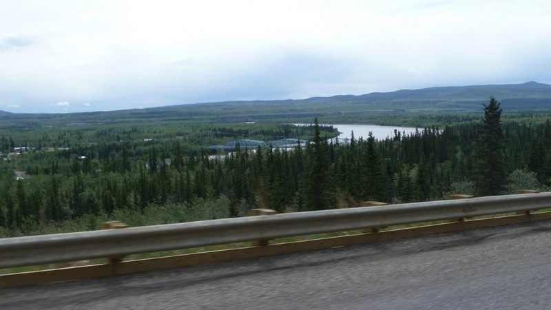
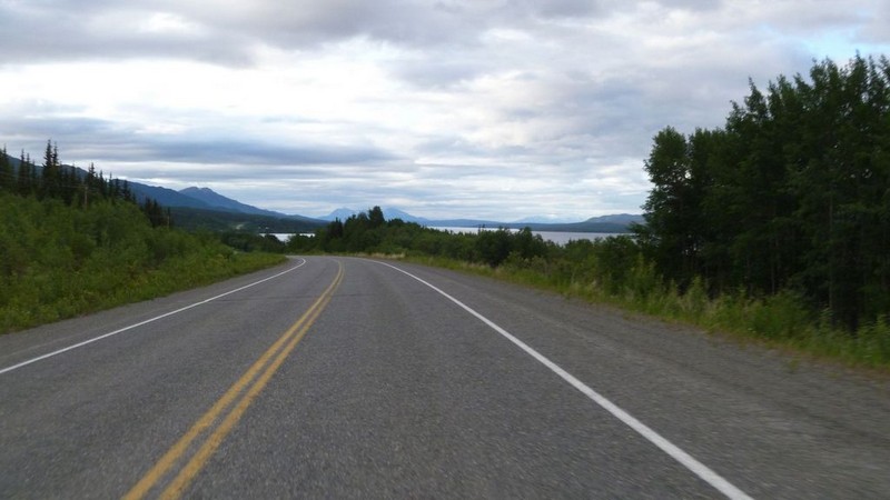
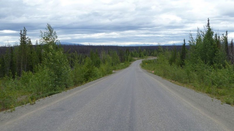
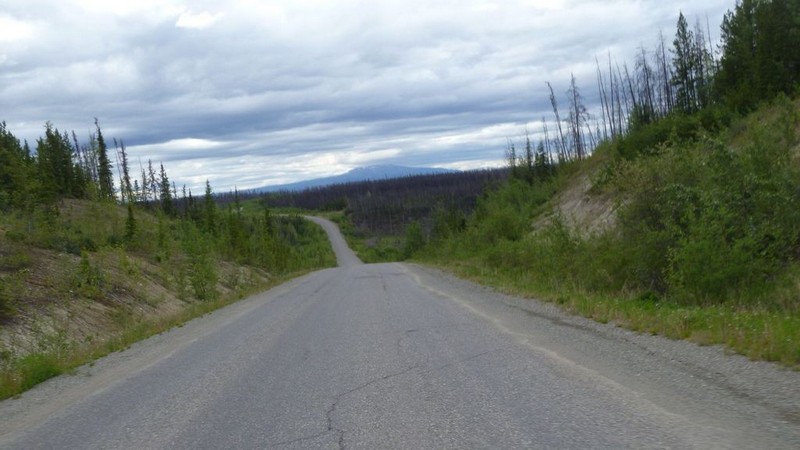
2015 Arctic Circle Expedition, Canada and Alaska


Road Dust
American Rat Rider


2015 Arctic Circle Expedition, Canada and Alaska
6 June 2015

Anchorage, Alaska


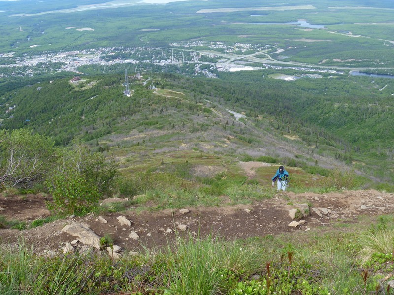
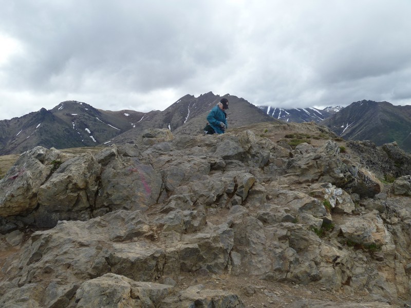
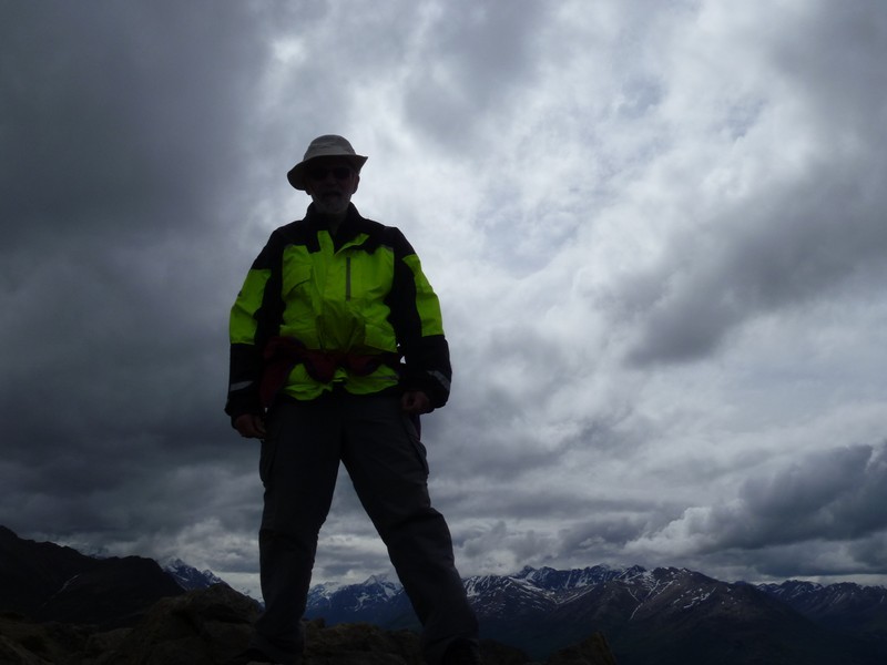
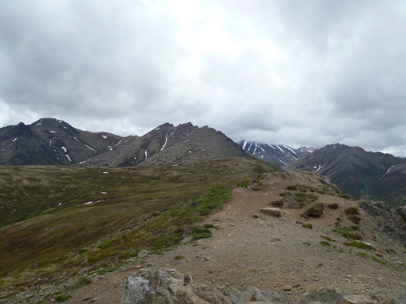
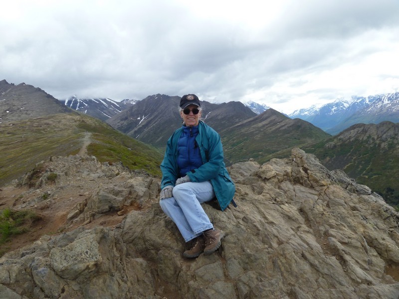
Today was our last day in Anchorage so we opted for another hike and headed off for Mt Baldy.

View from the trail head.


Mt Baldy


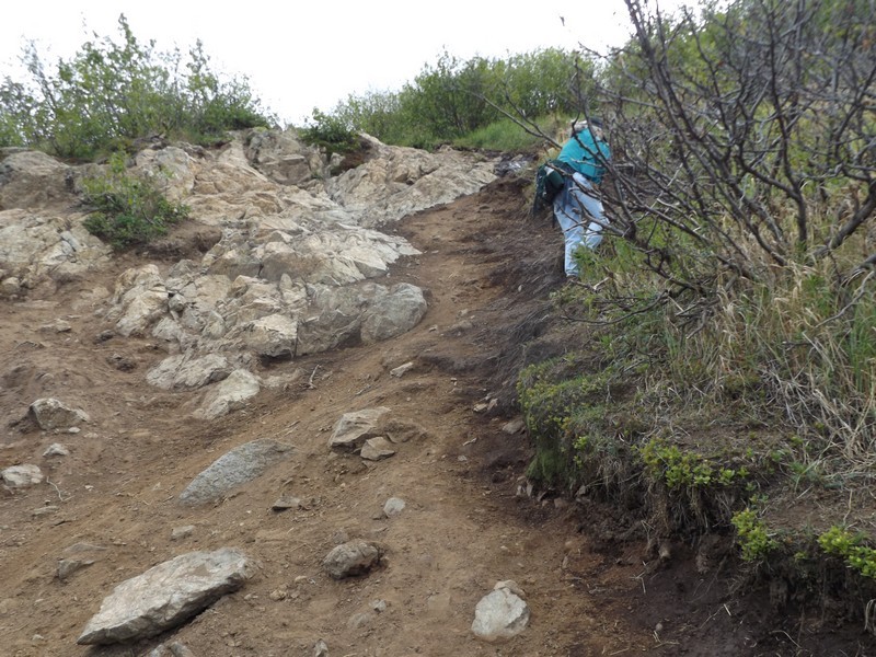
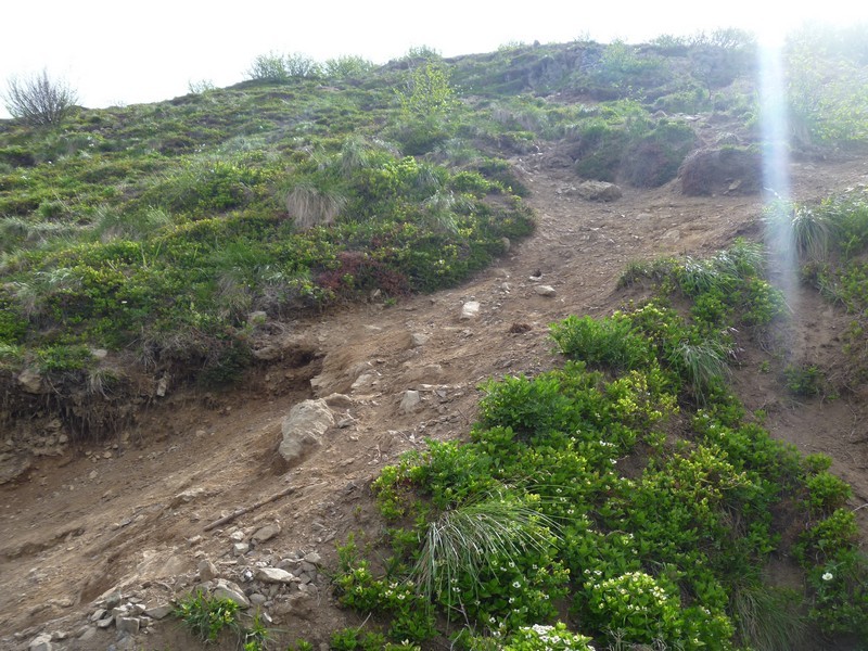
The hike up.


The top.


Early tomorrow morning Lois will catch a plane and fly back to Georgia.

I will be back on the road and heading up to Fairbanks for scheduled bike maintenance and new tires.


2015 Arctic Circle Expedition, Canada and Alaska
7 June 2015

Miles today: 394
Total miles: 5,605
Time on road: 8 hours

Anchorage, AK to Fairbanks, AK


Critter Count:
 Moose: 1

Today was a non-descript day. Slow ride up to Fairbanks.

Temperature started out in the low 50s and dropped into the 40s as I headed north.

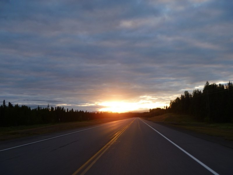
Fairbanks at 4:00 am.


A little sunshine.


Denali hidden in the clouds

My tour guide.


Denali


Back on the road and on to Fairbanks.


Clouds finally were gone, sun out, and the temperature started to rise into the upper 50s.


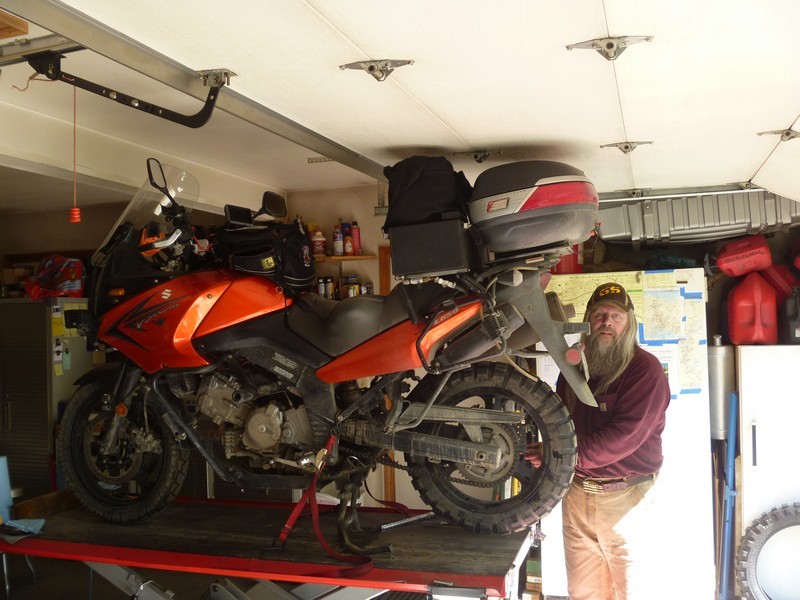
Dan putting on some new shoes and checking out her general health.


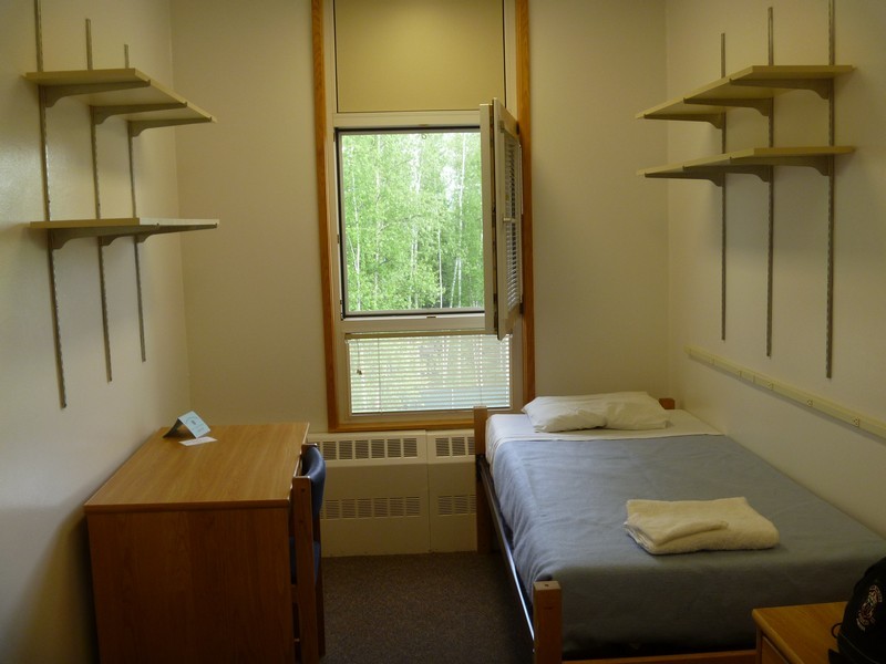
The castle for the night. $40 per night here (dorm room at University of Alaska Fairbanks) or $160 for a motel room in town.


Tomorrow will be a short ride down to Tok, AK where I will meet up with Mariano Marco Merino (M3) and Tavo as they are making their way north to conquer the Dalton and overnight in Deadhorse.


2015 Arctic Circle Expedition, Canada and Alaska
8 June 2015

Miles today: 222
Total miles: 5,827
Time on road: 8 hours

Fairbanks, AK to Tok, AK


Critter Count:
 Moose: 1

Short ride down to Tok, AK.

Made a quick stop at the North Pole to get my Christmas list in early this year. The old man keeps losing it.


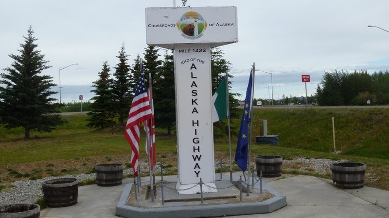
The end of the Alcan Highway in Delta Junction.


They have some big bugs up here.


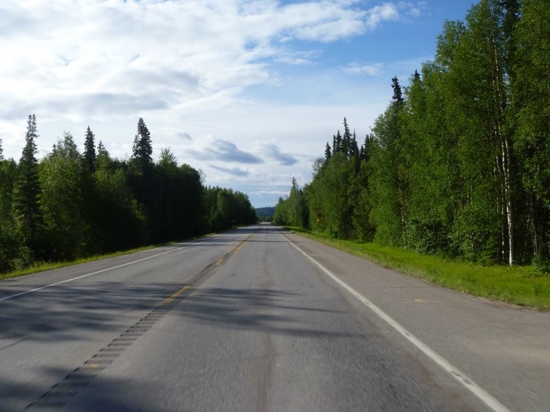
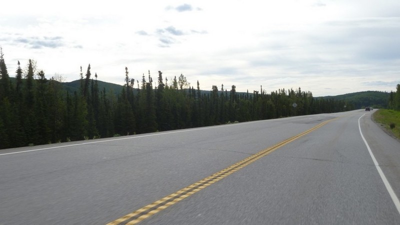
Road porn on the way to Tok.


Bike almost ready to be put to bed.


Next door to Young's Motel is Fast Eddie's. One of the better places to eat.


Tavo and M3 made it in after their ride across the Top of the World Highway. My route for tomorrow. We had dinner and then time to get ready for tomorrow's ride.


2015 Arctic Circle Expedition, Canada and Alaska
9 June 2015

Miles today: 195
Total miles: 6,022
Time on road: 5 hours 30 minutes

Tok, AK to Dawson, YT


Critter Count:
 Bear: 1

Today was a short ride. Started out with sunshine and stayed in the 50s - 60s during the ride.

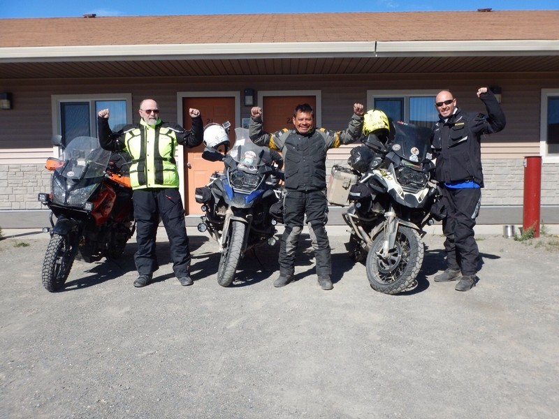
Had breakfast with M3 and Tavo and then we departed and went on our separate ways.


Hwy 2 going toward Tetlin Junction.


In Tetlin Junction, I took Hwy 5 (Taylor Highway) north toward Chicken, AK and the Top of the World Highway.


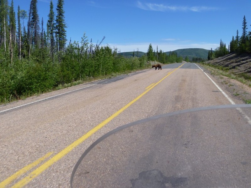
Another bear in the road. At first I saw a car stopped in the on-coming lane. They were stopped and bear was coming down the right side bank. The bear walks into my lane, stops, and is looking directly toward me. The car goes on and the bear continues to stand in my lane and watches me. I get closer and he finally moves to the left lane, still watching me. Finally he decides to move out of the road and back into the trees.


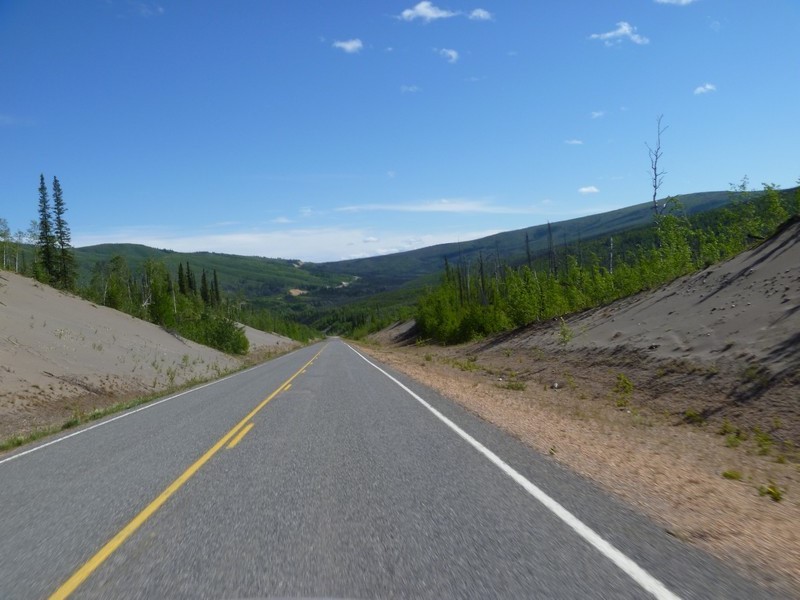
Hwy 5 continuing north.


The town of Chicken, AK
Chicken was settled by gold miners in the late 1800s and in 1902 the local post office was established requiring a community name. Due to the prevalence of ptarmigan in the area that name was suggested as the official name for the new community. However, the spelling could not be agreed on and Chicken was used to avoid embarrassment.


This is where hats go to when they run away from home - Chicken Creek Saloon.


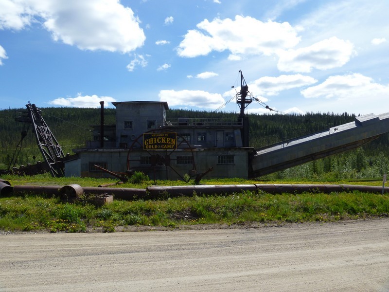
The old dredge from days gone by.


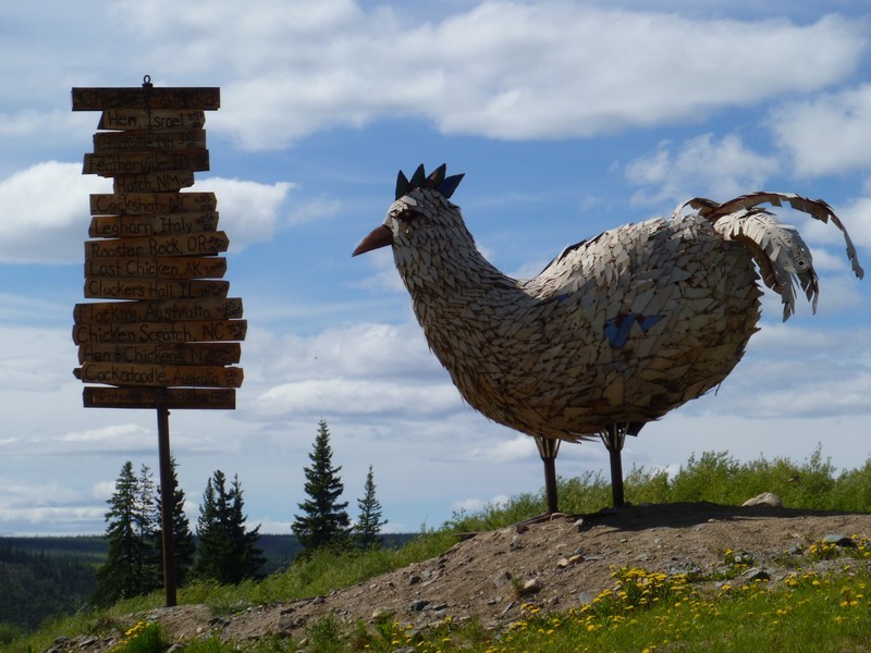
And, of course, there must be a chicken.


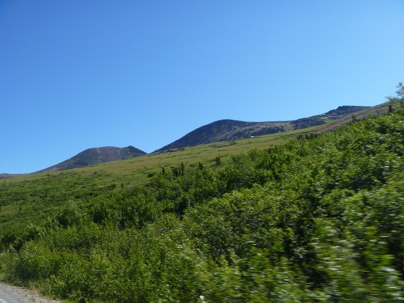
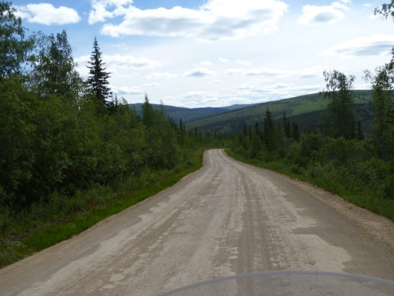
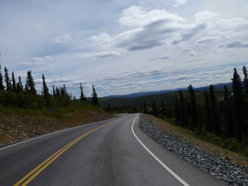
A little dirt getting to the Top of the World.


And a little hard top.


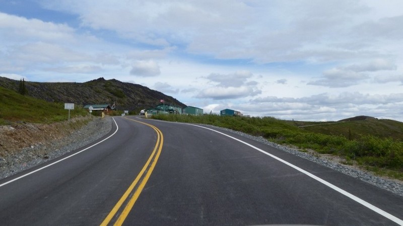
The approach to the border crossing. The Little Gold/Poker Creek border crossing from the Yukon to Alaska is the most northern international border crossing in all of North America.
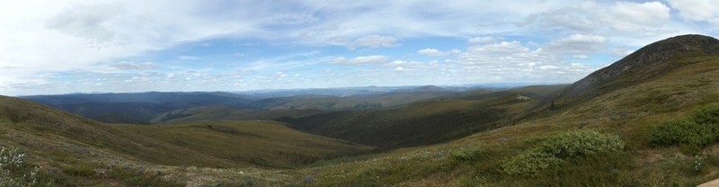

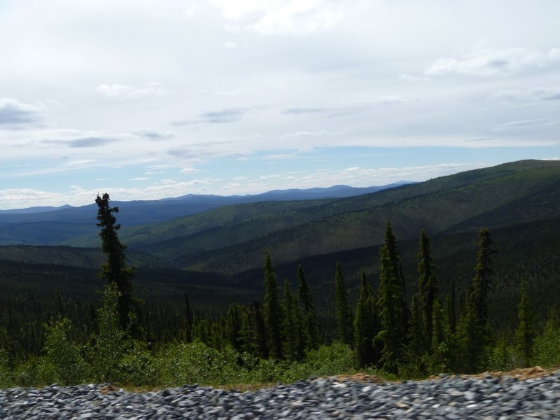
On to Dawson, YT via Top of the World. The Top of the World Highway is a 127-kilometre (79 mi) long highway, beginning at a junction with the Taylor Highway near Jack Wade, Alaska traveling east to its terminus at the ferry terminal in West Dawson, Yukon, on the western banks of the Yukon River. The highway has been in existence since at least 1955 and is only open during the summer months. The entire portion of the highway in Yukon is also known as Yukon Highway 9.
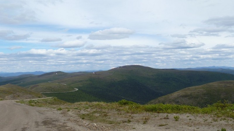
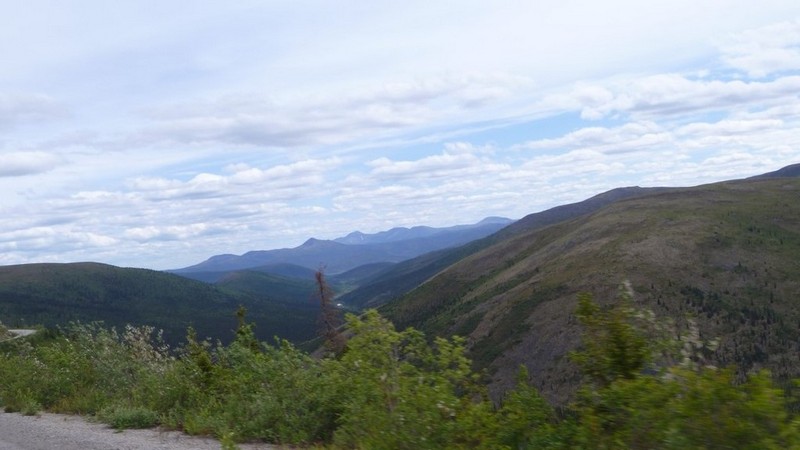
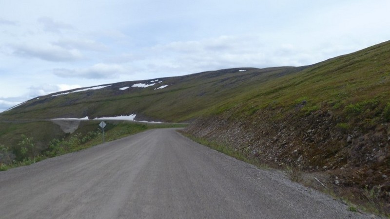
Getting close to Dawson City
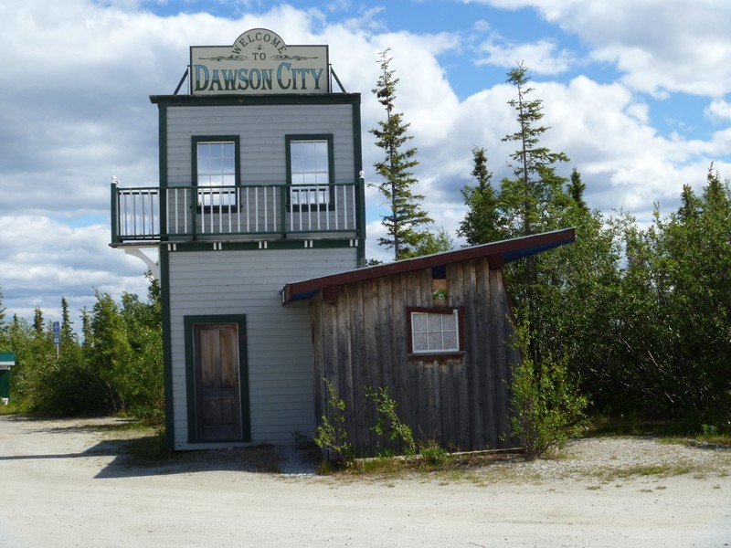


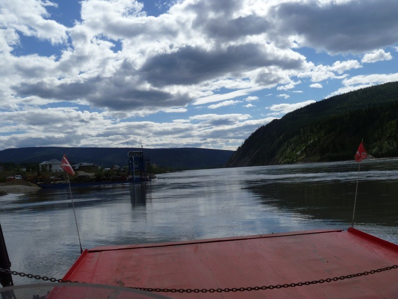
The ferry that takes you across the river to Dawson
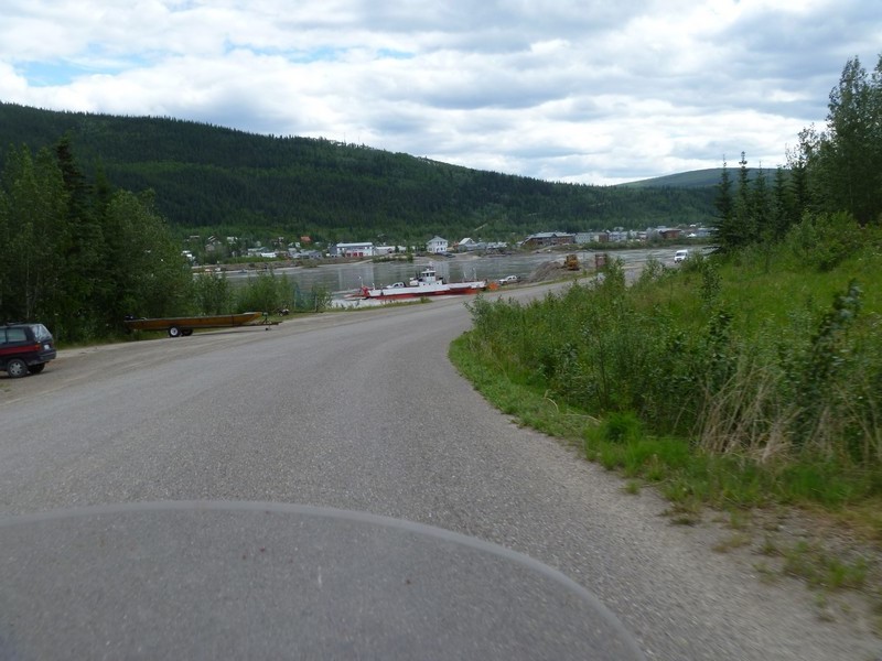


Traffic on the river
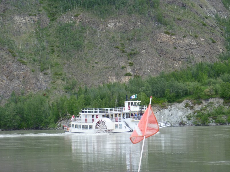


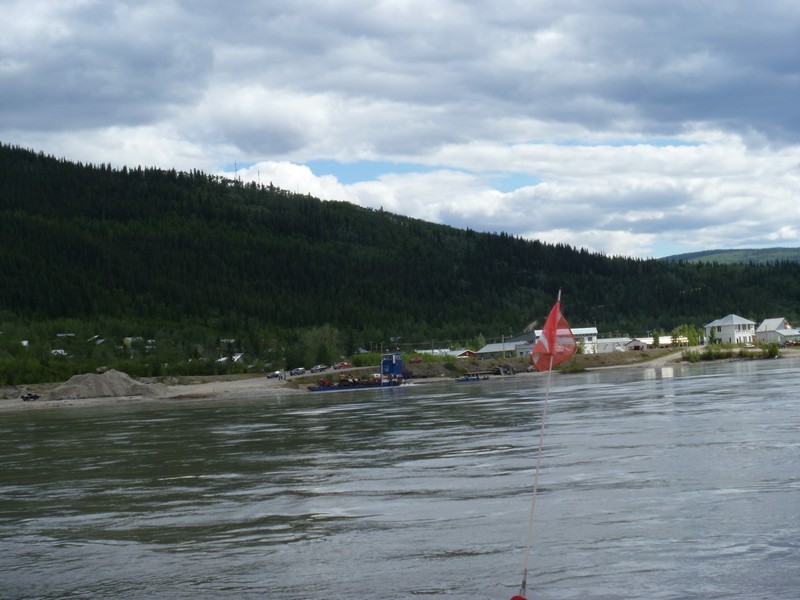
Getting to the other side


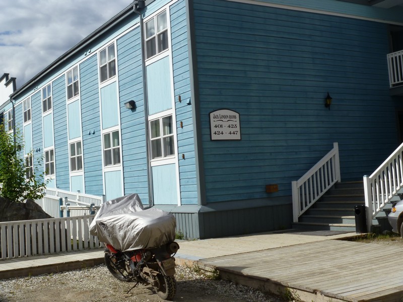
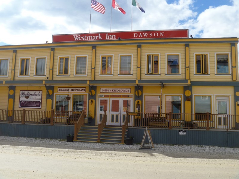
The hotel for the night


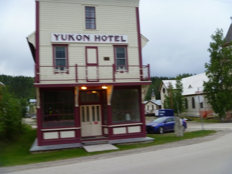
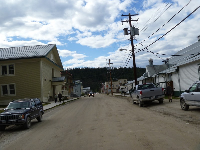
Just a little of Dawson City


2015 Arctic Circle Expedition, Canada and Alaska
10 June 2015

Miles today: 313
Total miles: 6,335
Time on road: 8 hours 30 minutes

Dawson, YT to Eagle Plains, YT


Critter Count:
 Elk: 1
 Moose: 1

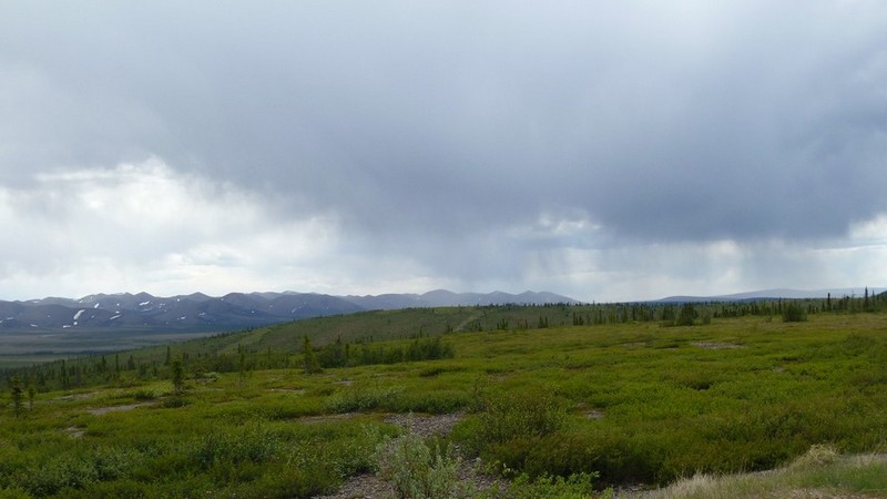
Left Dawson this morning and, of course, sky was cloudy and looking like rain


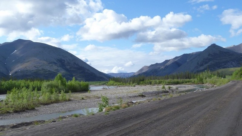
About 25 miles out of Dawson I reached the Dempster Highway and headed north toward my objective for the day, the Arctic Circle.


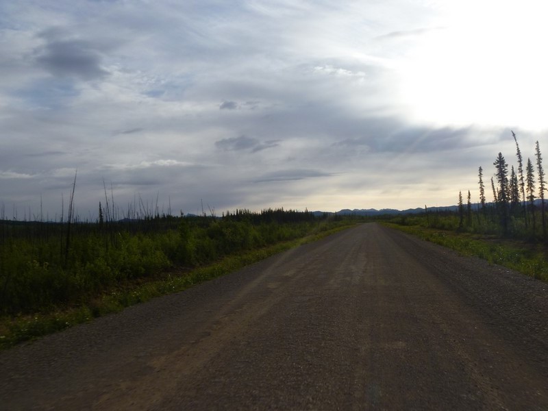
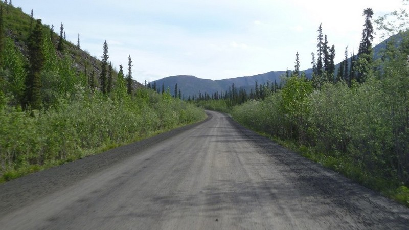
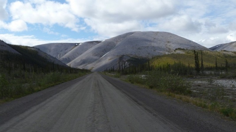
The rest of today would be all dirt.


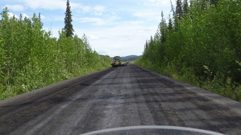
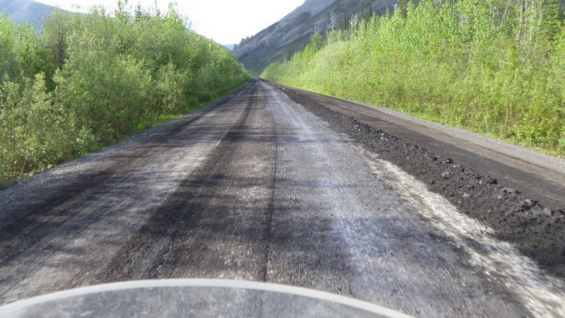
A little grading work going on. Notice the berm being left by the graders. Makes it interesting when you have to go over the berm with the bike.


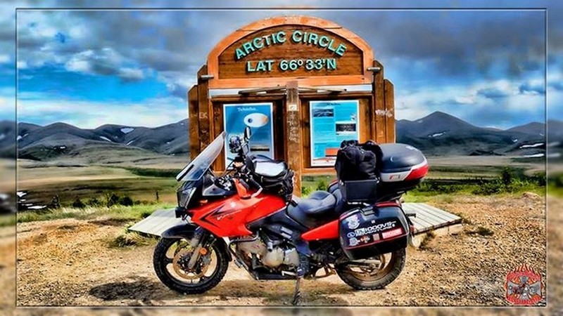
Reached the Arctic Circle. As far north that I am going on this trip.

The following photo is an enhancement of my original photo. This was done as a courtesy by Juan Aguirre who owns PhotoBiker Rodilla, the official photographer for the Asphalt Rats and also an amigo from Mexico. Gracias Juan.


Turned back south and headed to Eagle Plains for the night. Rain started developing on the way back.


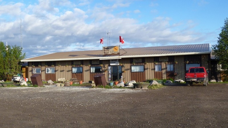
Made it back to Eagle Plains and settled into the motel


The town of Eagle Plains


Heavy rain set in and lasted for several hours. May make getting back down the Dempster interesting tomorrow.


2015 Arctic Circle Expedition, Canada and Alaska
11 June 2015

Miles today: 560
Total miles: 6,895
Time on road: 12 hours 30 minutes

Eagle Plains, YT to Whitehorse, YT


Critter Count:
 Elk: 2

Rain had stopped during the night but the road was still slick. This lasted for about the first 75 miles. Fish tailed and did the mud dance a few times but the bike never did go down.

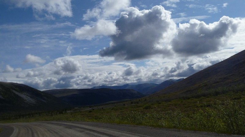
The road became dry and the sun was seen yet again.


More road work and another fun berm to cross.


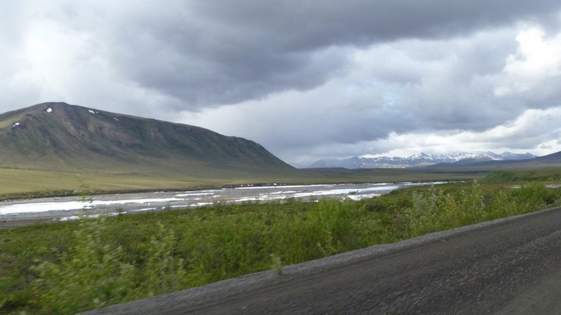
Clouds began to build again and rain was coming back in. Another 80 miles or so of wet and slick roads.


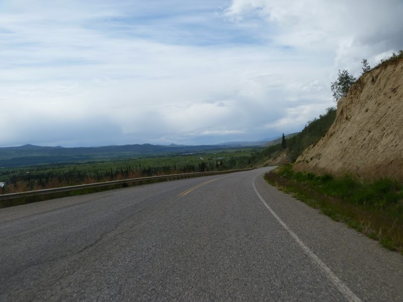
Made it back to the asphalt and headed south on Hwy 2 toward Whitehorse, YT.

On and off rain for the rest of the day.


Got into Whitehorse, found the motel, and the day was done.


2015 Arctic Circle Expedition, Canada and Alaska
12 June 2015

Miles today: 430
Total miles: 7,325
Time on road: 9 hours

Whitehorse, YT to Dease Lake, BC


Today's route was east on Highway 1, and then turning south on Highway 37, just before reaching Watson Lake, YT.

Heading back east on Hwy 1 approaching Teslin Lake:


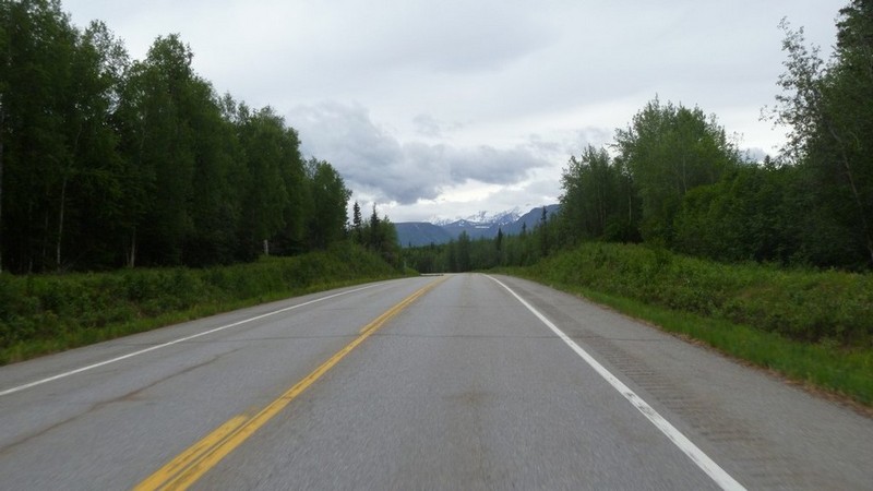
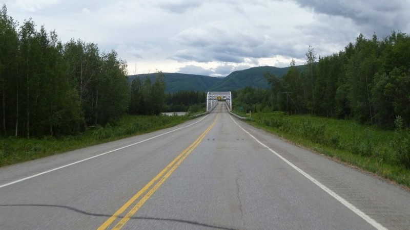
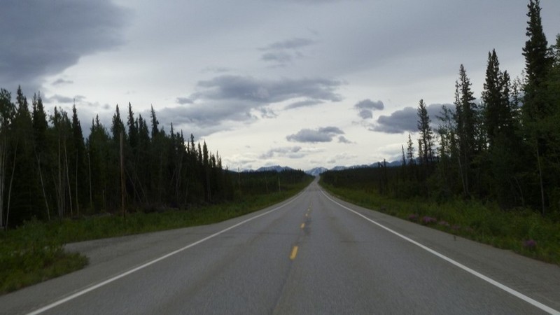
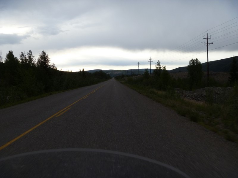
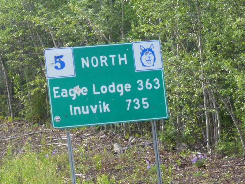
Took a left on Hwy 37 and headed south on Dease Lake Hwy. Nice little two lane and a fun road to ride.


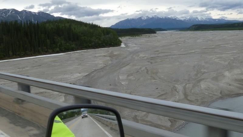
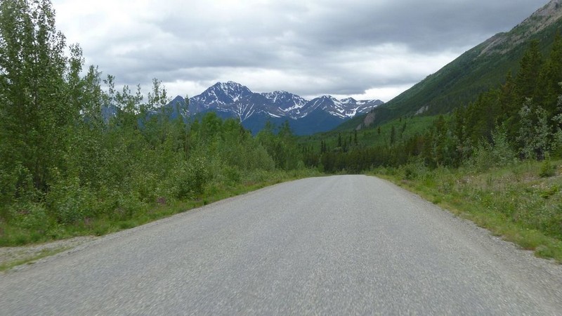
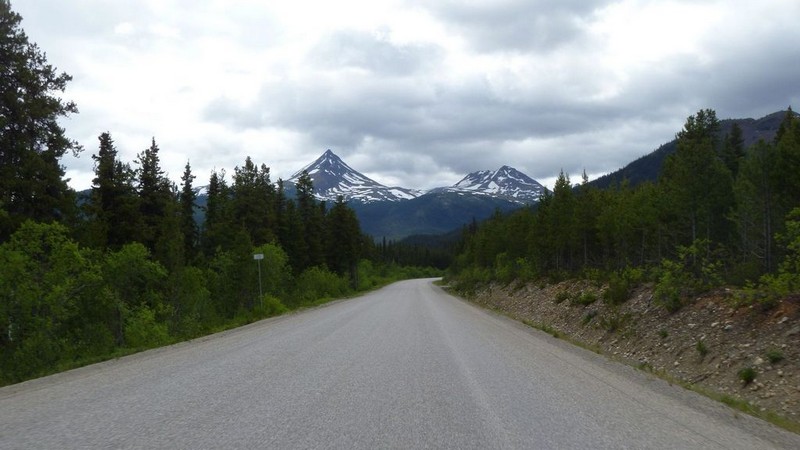
Mountains started coming back into view. The Highway is now referred to as the Stewart-Cassiar Hwy.


Made a stop at the Cassiar Mountain Jade Store.

About 90% of the Jade in the world is supplied from the Cassiar Mountain Range in British Cloumbia, Canada. Jade can only be mined for 90 days each year because of the weather conditions. By the time the snow melts and the frost leaves the ground it's July and the snow returns again in September.


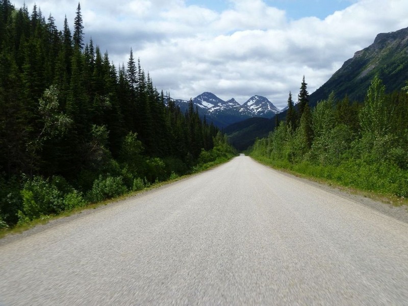
Back on the road and more mountains.


First moose of the day.


Coming into Dease Lake.


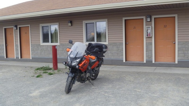
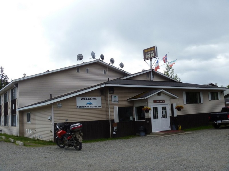
Home for the night.